Kuakul Manasamphansakul, Director of the Chiang Mai Irrigation Project, said the department is closely monitoring meteorological data, with the southwest monsoon expected to strengthen between 4th–8th August. He cautioned that cumulative rainfall, not just daily totals, should be factored into flood risk assessments.
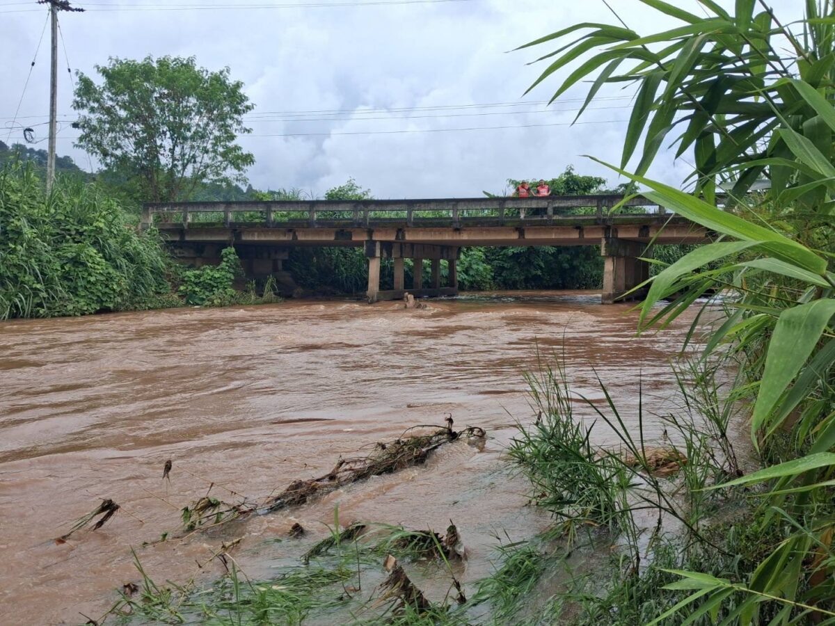
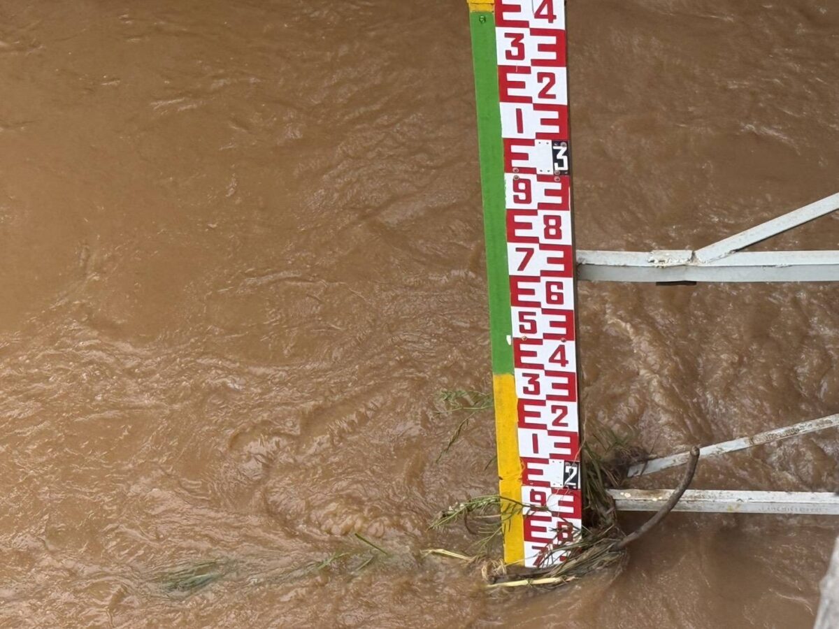
At the Ping River’s origin, measuring station P.20 in Chiang Dao recorded a flow of 28.44 cubic metres per second, with water levels 2.22 metres below the riverbank. Station P.67 in Mae Taeng recorded 132 cubic metres per second, 1.91 metres below the bank, while P.1 at Nawarat Bridge in Muang district recorded 162 cubic metres per second, 2.17 metres below the bank.
In the northern districts, station G.12 in Fang district showed water at 60% of capacity, 86cm below the bank, station G.13 in Fang’s Mae Kha area showed 48% capacity, 118cm below the bank, and station G.14 in Mae Ai showed just 17% capacity, 2.72 metres below the bank. In the southern zone, station P.73A in Chom Thong’s Sop Pae area recorded 125 cubic metres per second, 6.43 metres below the bank.
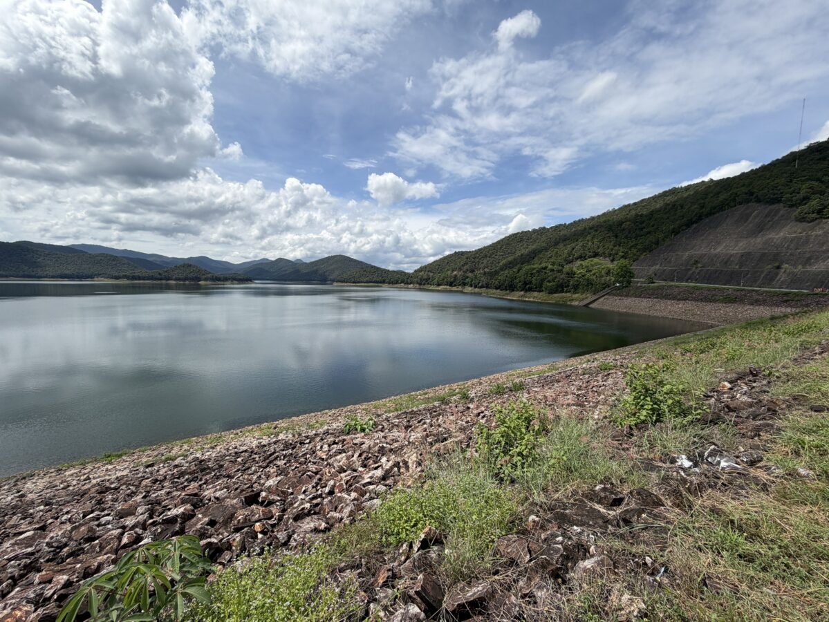
Major reservoirs are holding steady: Mae Ngat Somboon Chon Dam holds 209 million cubic metres, or 79% of capacity, with inflow of 5.4 million cubic metres and outflow of 2.166 million cubic metres. Under the 2026 rainy season irrigation plan, 17.663 million cubic metres have been released so far toward a 30 million cubic metre agricultural target. Mae Kuang Udomthara Dam holds 171 million cubic metres, or 65% of capacity, with inflow trending upward. Thirteen medium-sized reservoirs together hold 74 million cubic metres (72%) and 116 small reservoirs hold 44 million cubic metres (65%), all within healthy ranges.
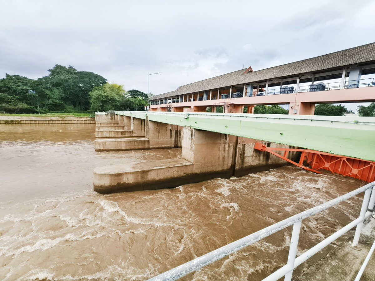
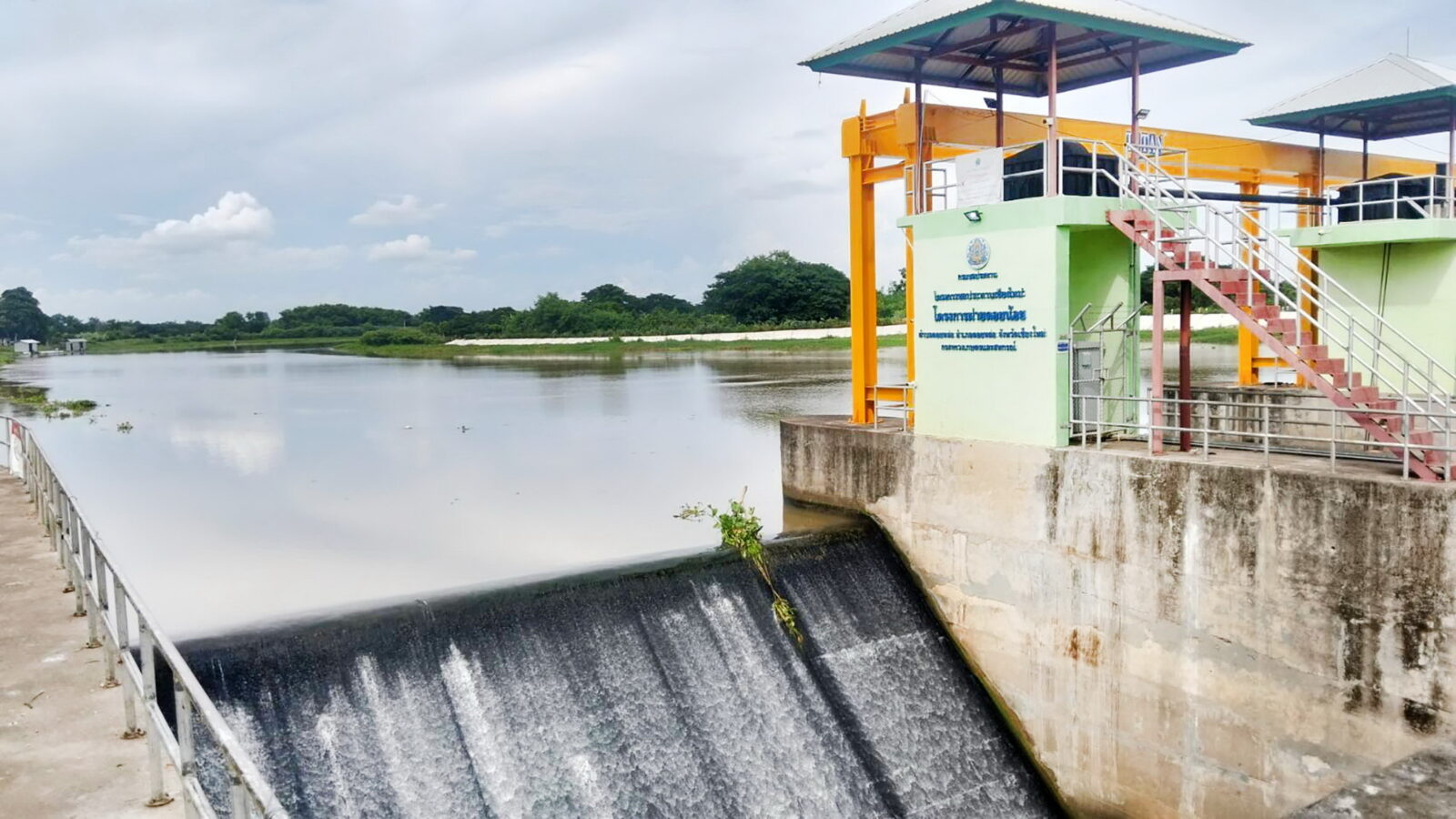
With a very strong El Niño anticipated later in the year, likely bringing below-average rainfall, the irrigation project said it is prioritising maximising water storage while ensuring adequate capacity remains for monsoon rain and storms. Completed drainage improvements include clearing waterway obstructions and upgrading the Phaya Kham, Nong Phueng and Tha Wang Tan weirs, along with reinforced embankments on the Ping River’s left bank near the Tha Wang Tan sluice gate.
Three special watch zones have been designated: the upper zone covering Mae Ai, Chiang Dao and Mae Taeng districts, the central zone covering Hang Dong, Samoeng, Mae Wang and San Pa Tong districts, and the southern zone covering Chom Thong and Omkoi districts.
The department said its warning system can provide at least 12 hours’ advance notice if the Ping River is at risk of overflowing its banks, with high accuracy in the 6–8 hour window before an event. It works with an integrated One Map system alongside Chiang Mai Municipality, the Chiang Mai Disaster Prevention and Mitigation Office, and the Chiang Mai Provincial Administrative Organisation to coordinate rapid drainage response.
Farmers have been asked to use water sparingly, relying primarily on rainfall and supplementing with irrigation water only during dry spells, to help preserve reserves for the 2026/70 dry season. Residents in flood-prone or low-lying areas are urged to closely follow official announcements and prepare for flash flooding and landslides during periods of sustained heavy rain.