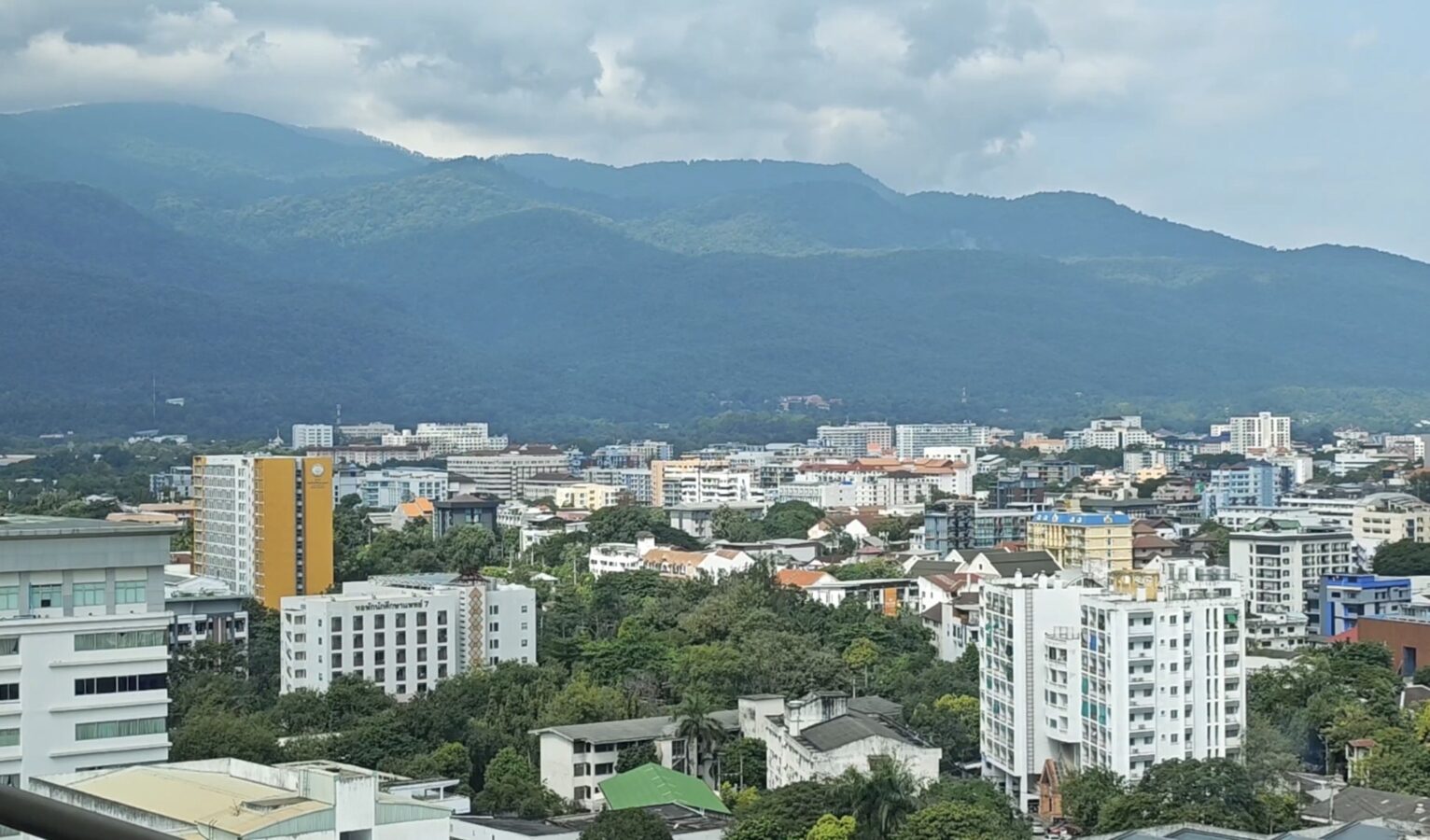
As PM2.5 levels begin creeping up again and health impacts are already being felt in some areas, early-season hotspots have started appearing in several provinces. We’re not yet in the thick of the smog season, but the fact that fires are already being detected has prompted authorities to tighten their watch.
Despite ever-stricter measures and tougher enforcement, there are still many farmers across the northern region who rely on timing their forest and field burning to avoid satellite flyovers — making it harder for officials to trace the fires. But that loophole is closing fast. This year, Thailand’s Geo-Informatics and Space Technology Development Agency (GISTDA) has significantly upgraded its satellite system, making missed detections far less likely.
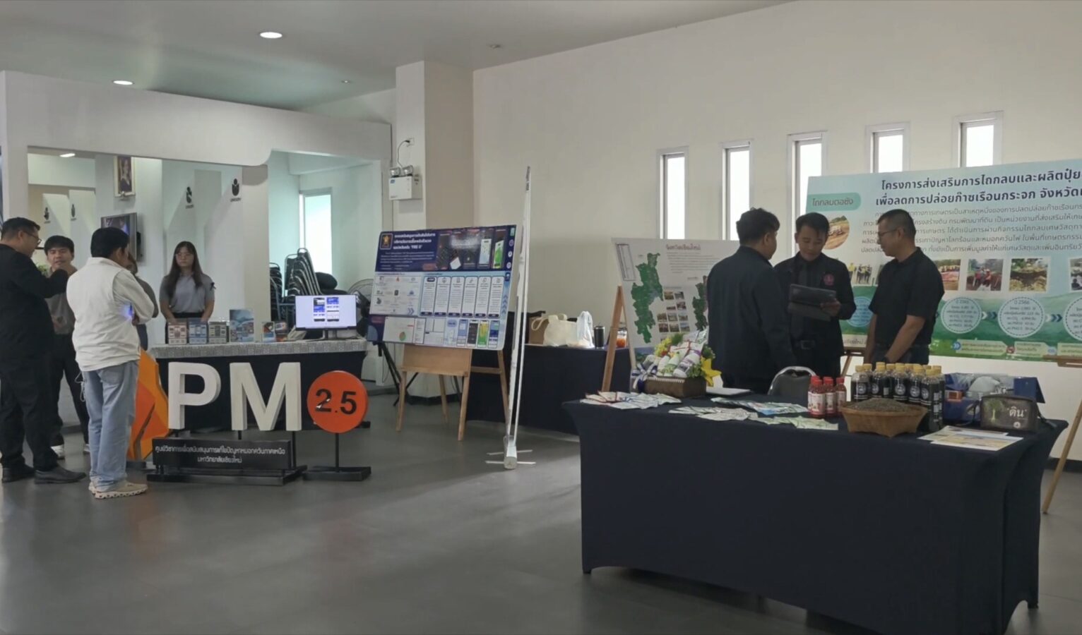
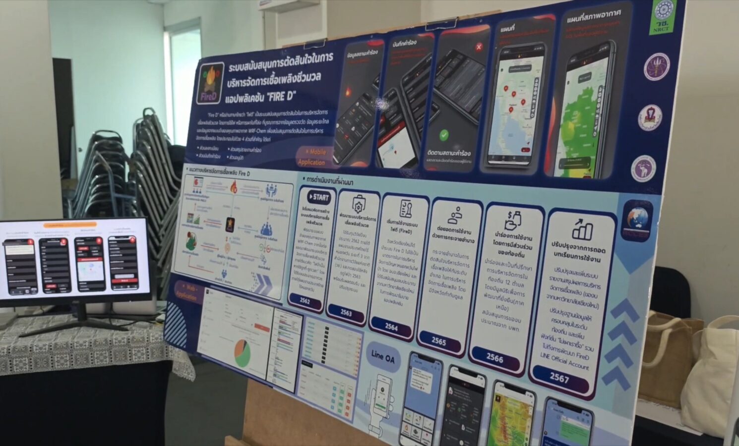
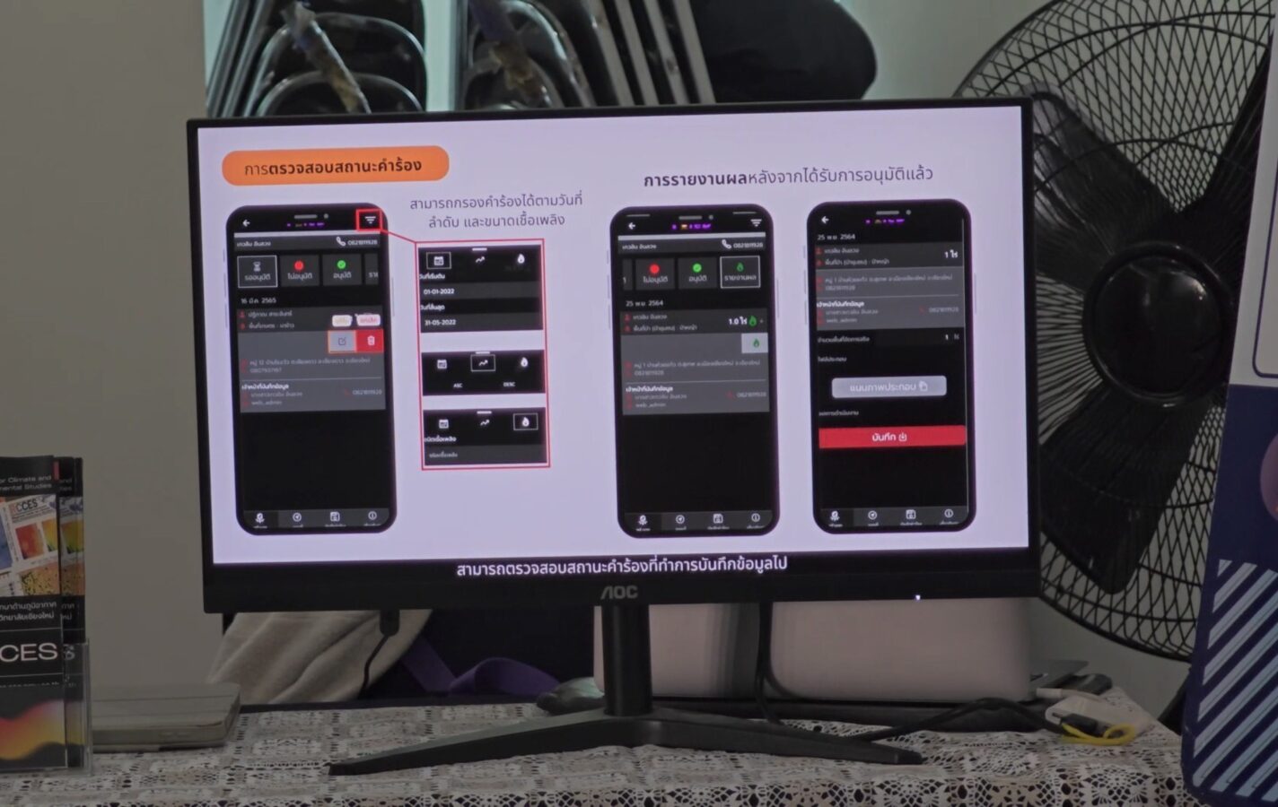
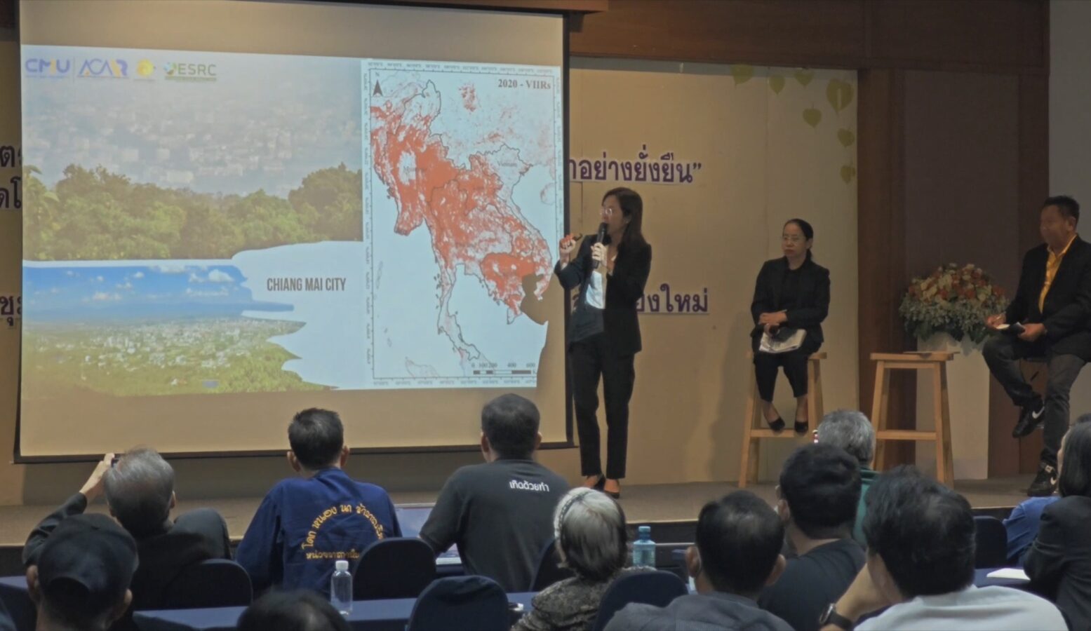
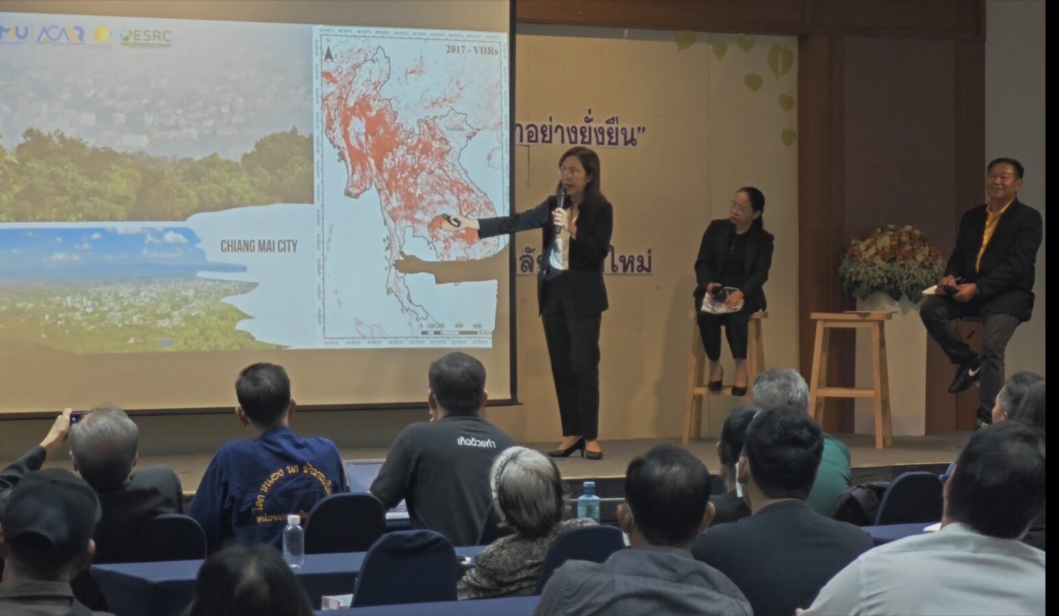
Woranuch Chansuri, a senior geoinformatics specialist at GISTDA, explained that satellite imagery can now detect hotspots and burn scars across every type of terrain. When analysing burn areas, the system can pinpoint exact coordinates, measure how many rai have been affected, and determine whether the fire originated in forest land or agricultural plots — crucial information that helps ground teams respond quickly and accurately.
As for burn-offs timed to evade satellite passes, Woranuch noted that the game has changed. NASA and several other space agencies have launched additional satellites in recent years, and GISTDA receives real-time data from these sources. Now, two more NOAA satellites — NOAA-20 and NOAA-21 — have been added to the network.
This jump from two monitoring satellites to five means far more frequent coverage: instead of four detection windows per day, Thailand now gets eight to ten.
Fire-scar mapping has also seen a major upgrade. While older systems relied on Landsat 8 and 9, the addition of Sentinel-2 satellites, increases the total to five satellites monitoring burn areas. This boosts revisit times from once every 16 days to every 3–5 days, and improves spatial resolution from 30×30 metres to a much sharper 10×10 metres.
In short: if anyone still plans to burn, they may want to think again. The eyes in the sky just got a whole lot sharper.